
back to: Services
Demonstration of the CMZA Tool
|
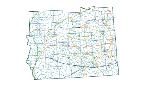
This map is the “geographic birthright” of each grain storage facility. This shows how grain might be transported during the North American harvest period when facilities of all sizes will accept grain. A table can be produced from this map to show how main bushels of grain are in the geographic birthright of each facility. |
|
© 2005-2006 PRX Geographic™. All Rights Reserved. Photo credits.